

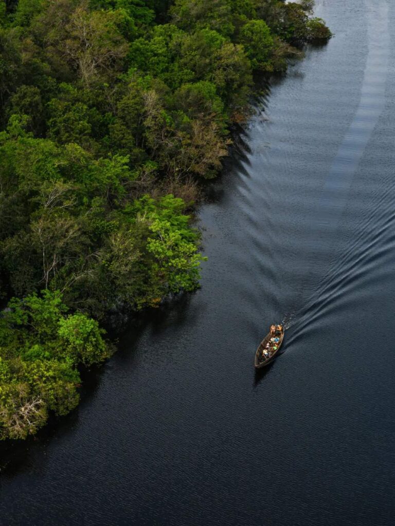
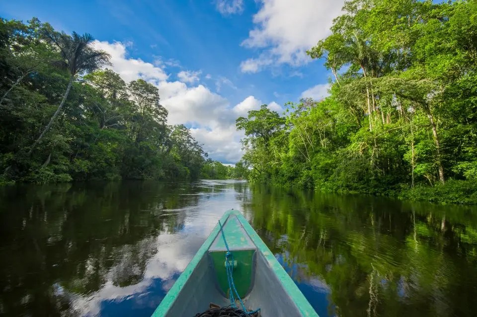
Surely, the best way to explore the Amazon is to navigate through it’s river system. The Rio Negro is the largest tributary on the left bank of Amazon River, in the Amazon, in South America, bathing three countries in South America: Colombia (where it has its sources), Venezuela and Brazil, and runs for about 1,700 kilometers.
Also it is the longest blackwater river in the world, and the second largest in volume of water — behind only the Amazon river, which helps to form it. Amazon’s pool rivers and by themselves deserve attention. It is enough to say only that there are 20 tributaries longer than 1,500 km long.
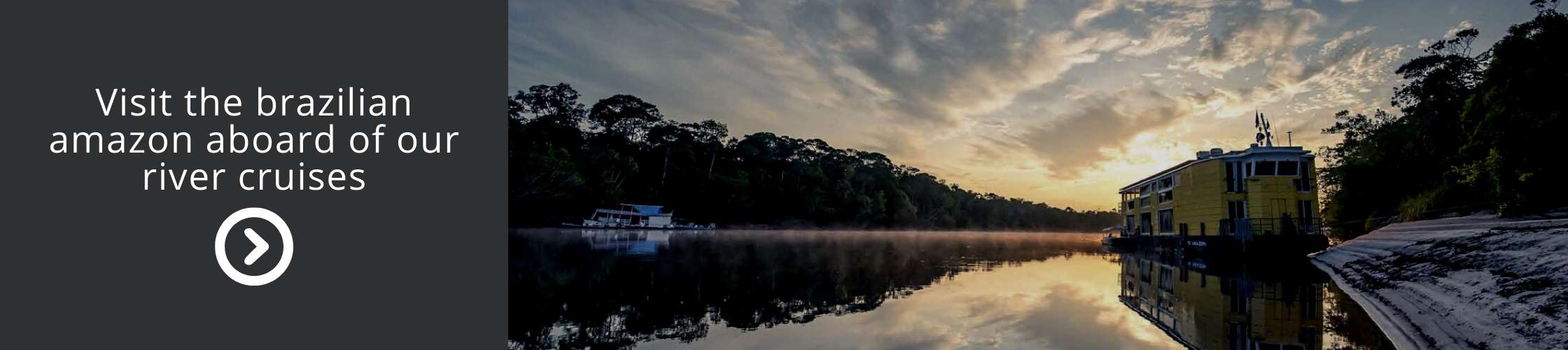
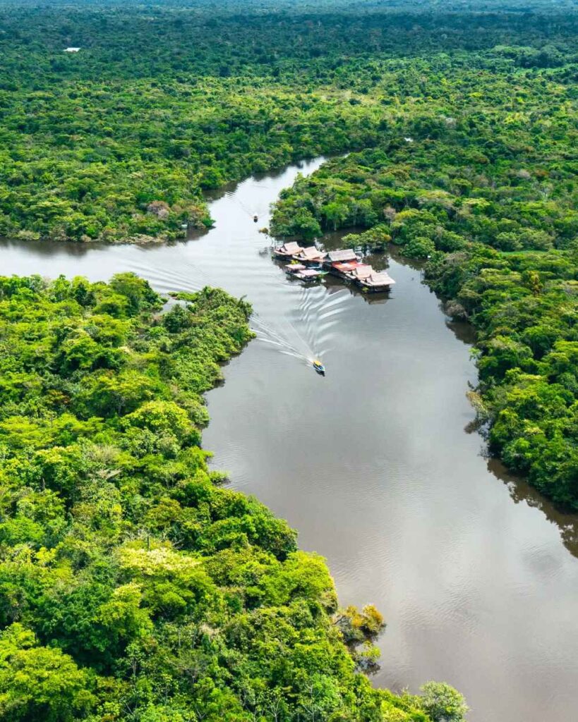
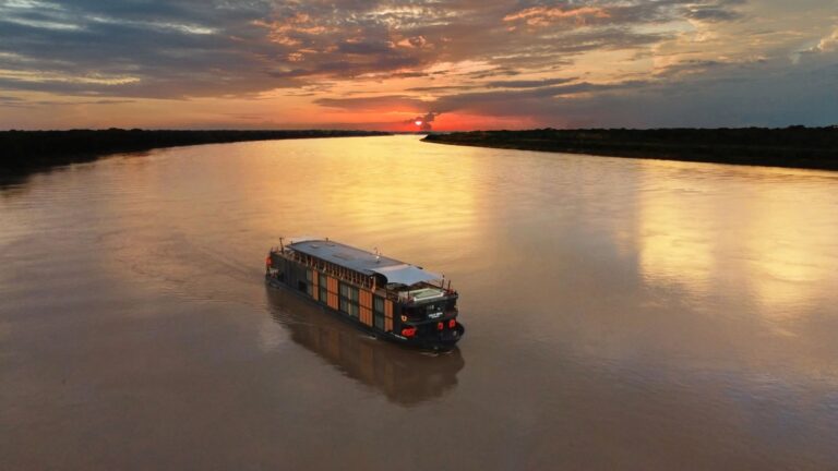
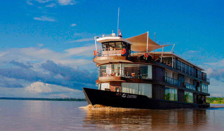
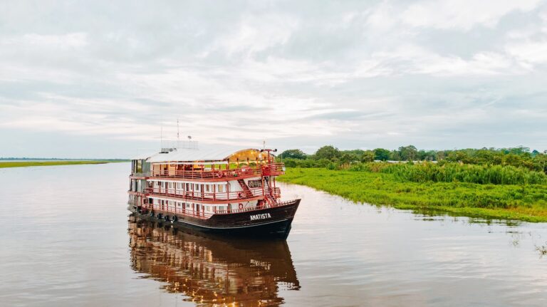
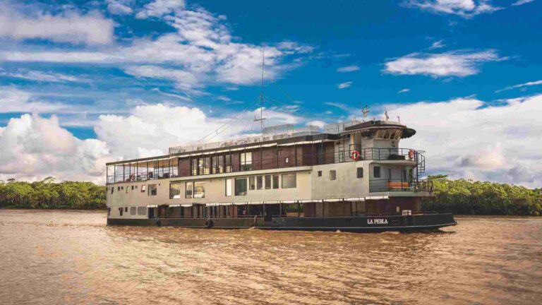
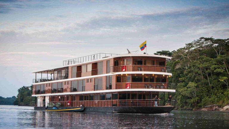
Voyagers Travel offers several cruise options to explore the Rio Negro and other Amazon tributaries on board riverboats that offer expedition style cruises, here are a few suggestions for you to review:
Untamed Amazon riverboat: https://www.amazoncruise.net/cruises/untamed-amazon/
Tucano Riverboat Cruise: https://www.amazoncruise.net/cruises/tucano-cruise/
Amazon Clipper Cruise: https://www.amazoncruise.net/cruises/clipper-cruise/
Iberostar Grande Amazon: https://www.amazoncruise.net/cruises/iberostar-cruise/ (large cruise liner)
Desafio Sailboat Cruise: https://www.amazoncruise.net/cruises/desafio-cruise/
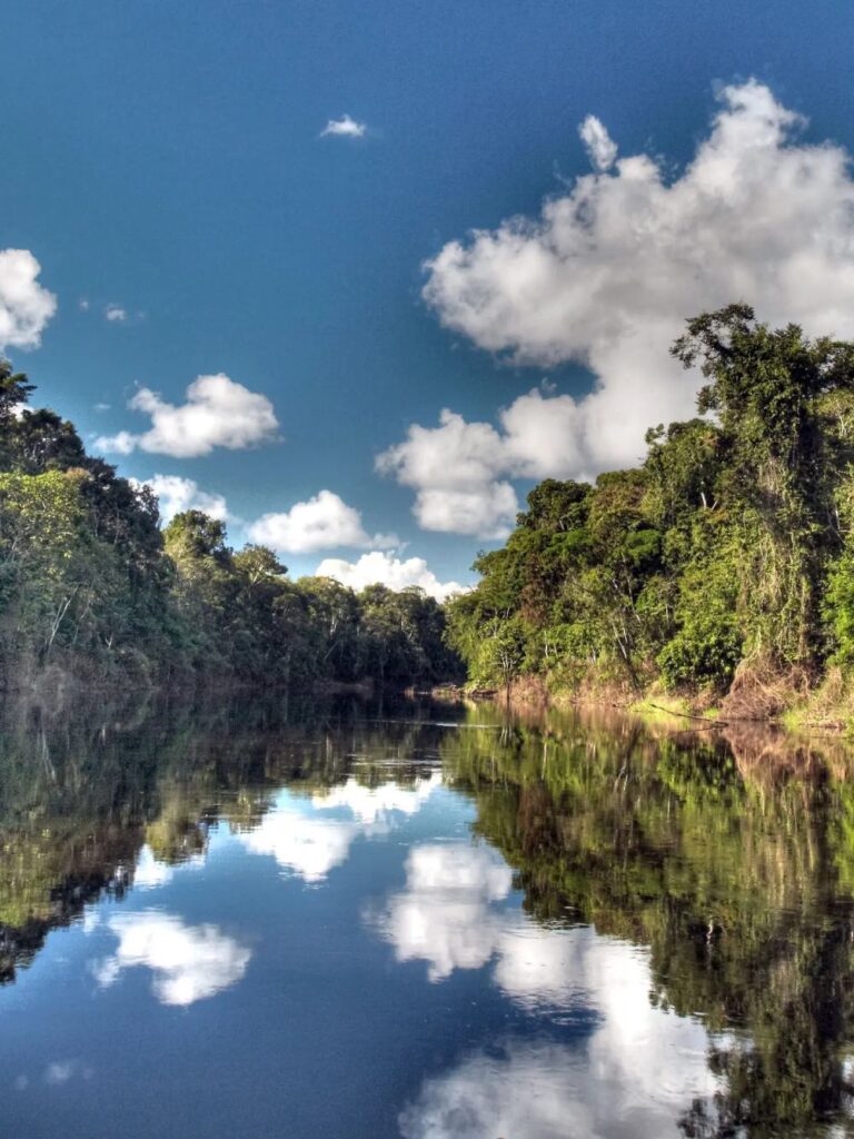
The black waters hide thousands of islands at the time of flooding, which are revealed after this period has passed. However, even being dark, the waters of the Rio Negro have a transparency that varies between 1.3 m and 2.3 m. A separate attraction for the thousands of tourists who seek adventure itineraries in the Brazilian Amazon region, considered the largest tropical forest on the planet.
The amazonians love to cool off on weekends on the thousands of beaches in the city of Manaus during the Amazonian summer. But what many tourists do not know is that one of the tributaries of the Amazon River holds many mysteries.
There are many curiosities about Rio Negro from the springs of the clear waters, passing through the mysterious meeting of the waters to emptying into the salty waters of the Atlantic Ocean.
In Rio Negro lives amazing fish and the most incredible creatures. Leaf Fish, for example, it is impossible to see them in the water of full rotting leaves. But the red neons opposite do not pay any attention to disguise and become prey to predators who do not notice. The matamata’s turtle is also different from other turtles with an original from and habits. I think it is just necessary to see, but not to describe.
The Rio Negro rises in the Serra do Junaí, in Colombia, where it is called the Guainía River, at about 1,600 meters of altitude and this name comes from the outcrop of groundwater, therefore, it’s calls clear water.
Every year the rivers in the Amazon rainforest region flood and ebb and one of those responsible for this phenomenon is the thaw that takes place in the Andes Mountains, the source of the Amazon River. Allied to the rainy season, the level of the Rio Negro reaches very high levels.
According to researchers, the peak of the Rio Negro flood happened in 2012 with 29.97 meters high. However, in 2021, the level of the Rio Negro reached 30.02 meters, exceeding the maximum forecast of the year by the Geological Service of Brazil of the record quota recorded in 2012. With this, Manaus records the largest flood in history since the beginning of records, in 1902.
This has been the subject of speculation for about 200 years by various scientists. It was only in the early 1980s that the answer came through the studies of American chemist Jerry A. Leenheer. The waters of all rivers are largely dependent on chemical and physical interactions, such as infiltration and runoff, with the extensive land drainage areas adjacent to them.
The black waters of the Rio Negro and many of its effluents have pH values between 3.8 and 4.9, therefore being acidic. This is due to the large amount of dissolved organic substances from the drainage of sandy soils adjacent to the river, which has vegetation such as Amazonian caatingas. This color is a result of humic and fulvic acids resulting from the decomposition of humus in the soil that are slowly transported to the river.
Humus is a natural compost made by the digestive system of earthworms, by bacteria and fungi, which decompose organic matter, adding to the soil the remains of dead animals and plants and also their by-products.
Visibility varies between 1.50 and 2.50 meters. Due to this low pH, insects do not proliferate and there are almost no mosquitoes in the region.
The Rio Negro receives a large number of tributaries, the main ones on the left bank are the following:
Padauri;
Demeni;
Jacari;
White;
Jauaperi;
Camamanau.
The Rio Negro is navigable for 720 kilometers above its mouth and can have a minimum of 1 meter of water in times of drought, but there are many sandbanks and other minor difficulties. In the rainy season, it overflows, flooding the riverside regions at distances ranging from 32 km to 640 km.
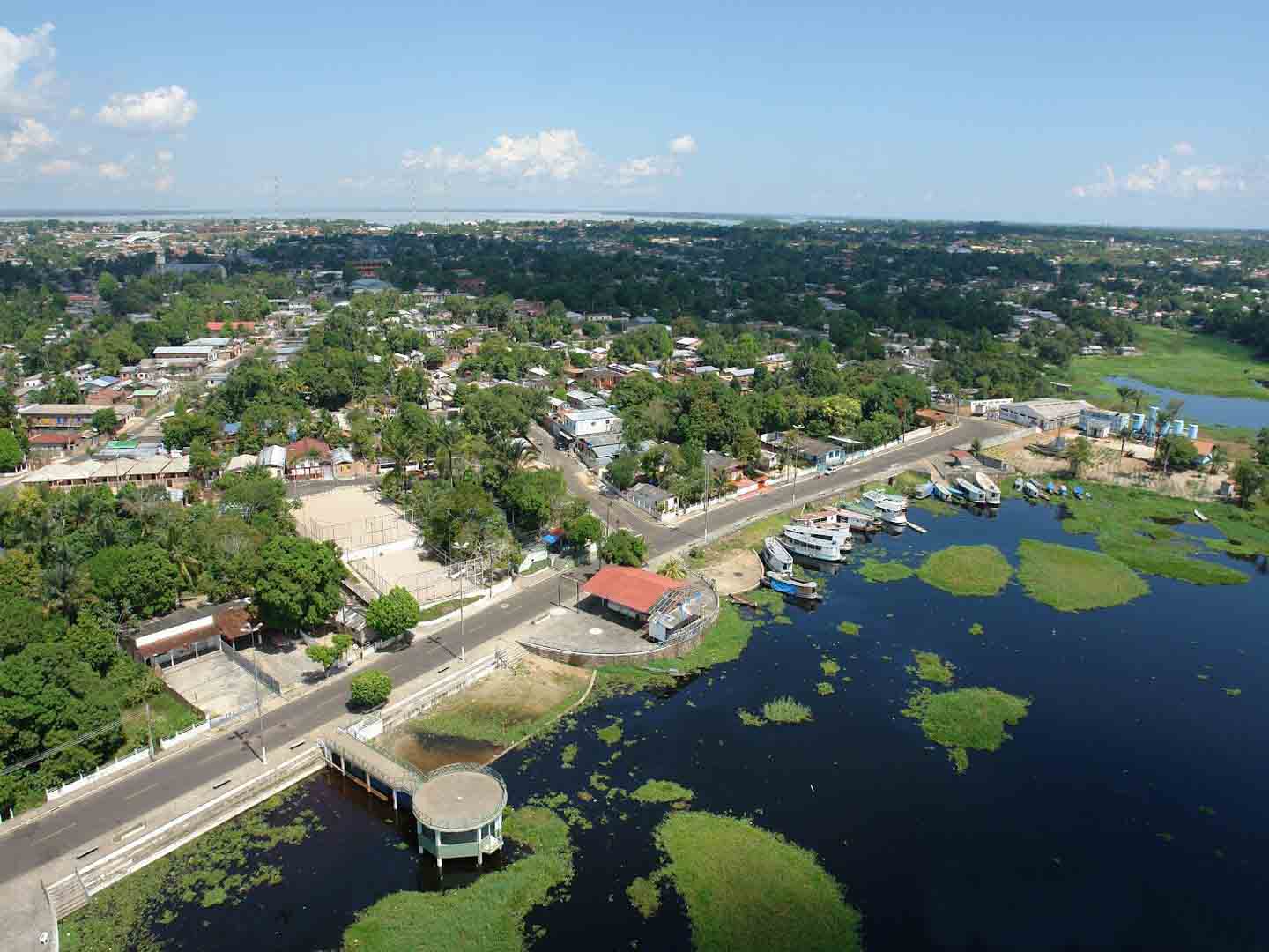
In the channel of Rio Negro there are about 72 localities between riverside communities and streams. Main villages: Iranduba, Manacapuru, Novo Airão.
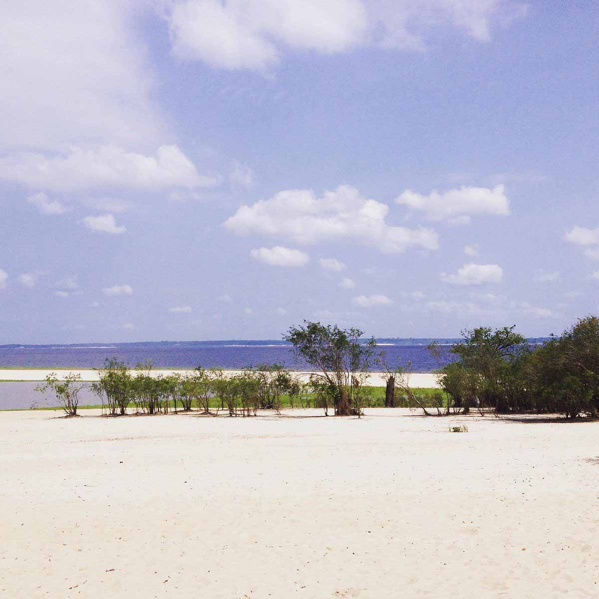
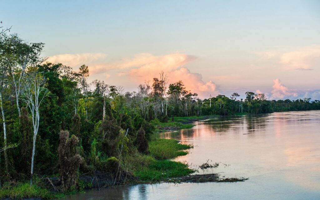
From June to November is the ebb period of the dark waters of the Rio Negro and its tributaries. Time, for example, of the Amazonian summer — a period of drought in the North region, when the waters recede forming sandbanks and the decrease of the streams, giving rise to beautiful freshwater beaches in the riverbeds — a true spectacle of nature, scenarios that are only seen a few months of the year, where locals and visitors alike enjoy it in many ways.
Between June and September is the dry season when the rivers are full. It is possible to take the opportunity to “navigate” in the forest still flooded by the rains, paddle through the treetops, as the waters have not yet completely subsided. A period when nature is in festivity, with plants and trees blooming and when some animal species are reproducing.
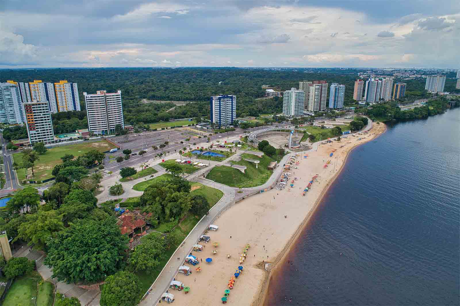
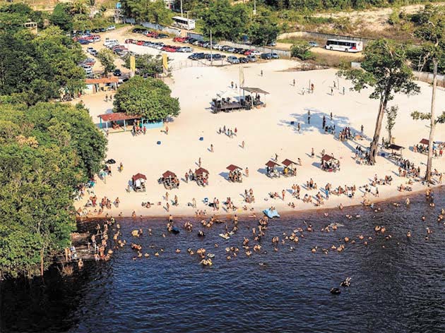
The dry season of the waters takes place between October and November, perfect period for hiking through the forest. Few know, but Manaus offers more than a dozen beaches. The beaches of Rio Negro have white sands that give a wonderful contrast to the landscape and make these places meeting points for the Amazon summer, where it is possible to interact with nature, swim, practice adventure sports.
Tip: It is important to be aware of the “cauixi season” on some Amazonian beaches. The phenomenon occurs at the height of the drought (October and November), a period in which freshwater micro sponges detach from the roots of trees on the riverbank, causing itching and discomfort in contact with the skin of bathers.
— The most urban, most accessible and most famous of all in Manaus. It is located in the upscale neighborhood of Ponta Negra, in the west of the city, 13 km from the historic center.
— It is a white sand beach, with warm and calm waters, in different shades of yellow, passing through brown to the dark gray of Rio Negro. It is 16 kilometers from the Historic Center of Manaus, just 10 minutes by boat/boat from Marina do Davi, on Ponta Negra Beach.
— The beach is also known as “Mirante da Embratel” and is located in the Colônia Antônio Aleixo neighborhood, east of Manaus. The place is famous because it is the only one where it is possible to follow the famous“Meeting of the Waters” on land.
— Located in the neighborhood of Tarumã-Açu, in Manaus, on the road to Vivenda Verde, Prainha is a vast stretch of white sand that stands out even more during the ebb of the Rio Negro.
— Spa Amazon Forever – The beach appears between the months of August and October, it is in the private spa Amazon Forever. By car, it is just 30 minutes from downtown Manaus, in the municipality of Iranduba; by speedboat the journey takes about 1 hour.
— One of the most beautiful in the region. It is located 1 hour from the center of Manaus, in the municipality of Iranduba, accessible by car, crossing the Rio Negro Bridge.
— To get to the beach you need to rent a boat from Marina do David, in Ponta Negra, to Escondidinho beach, located in rural Manaus.
— It appears with a greater strip of sand between August and March. It is one of the main beaches in Manaus, well known by the Amazonians because it is located on an indigenous reserve, 30 km from the capital. Boats depart from Marina do David, in Ponta Negra, and take about 30 minutes to reach the destination.
— Also known as the “floating” beach, it is accessible from a junction at km 9 of the Tarumã road. Praia Dourada is open on weekends and holidays, but some floating ones have more flexible hours.
— Just cross the Rio Negro Bridge and head towards Manaus-Iranduba. Access is free and the beach is popular with fishermen and locals.

Leave a Comment